District 4 | South-Central Idaho
Overview
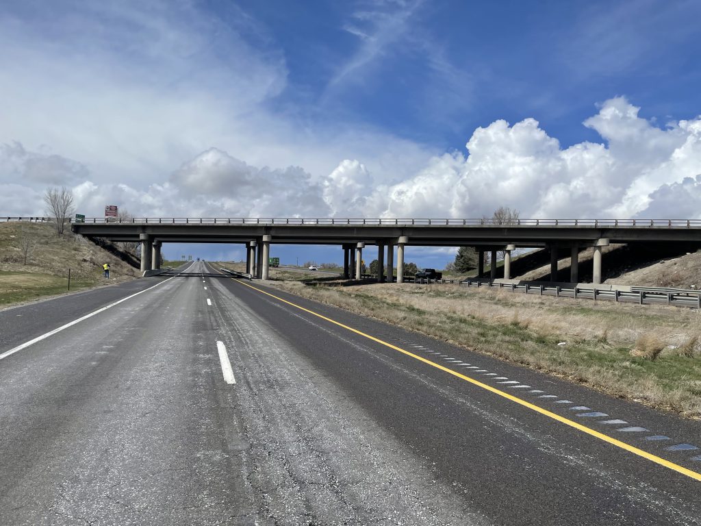
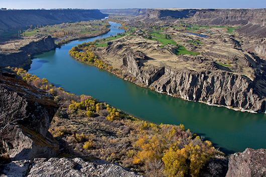
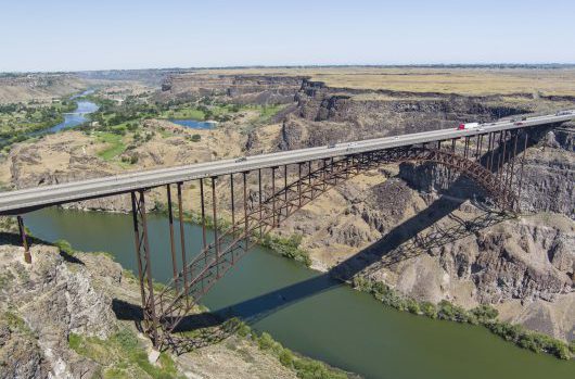 District 4 is made up of 11,553 square miles and maintains 2,321 lane miles and 290 bridges. It is the third largest district by area and by population with over 185,000 residents. District 4 has a diverse landscape with the highest Idaho mountain highway pass (Galena Summit, 8,721 ft.), fertile farms and the Snake River plain.
District headquarters is in Shoshone located in Lincoln County, where Jesse Barrus is the district (head) engineer. Mitch Watkins, of Twin Falls, has represented District 4 on the Idaho Transportation Board since January 2024.
District 4 Fax: 208-886-7895
216 South Date Street
Shoshone, ID 83352

Mitch Watkins
Board Member
208-280-3031
News
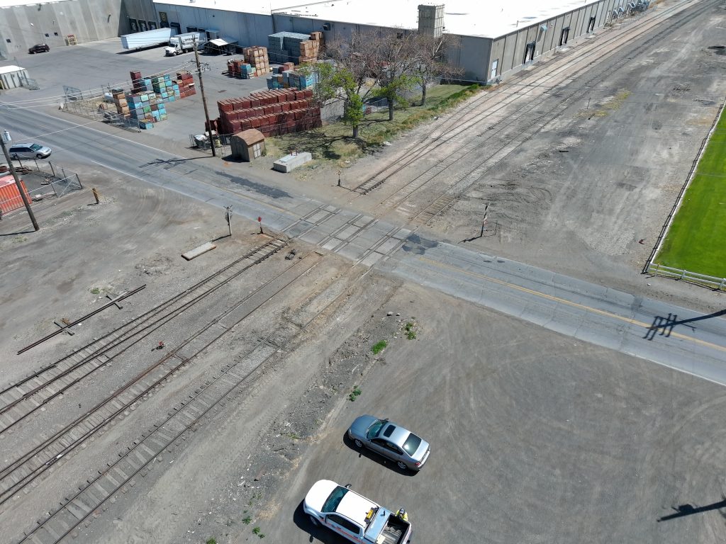
ITD closing SH-46 at railroad crossing in Buhl for repairs next week
I-84 westbound on-ramp at Heyburn Exit 211 will close tomorrow night
Weight restrictions in place over Yankee Fork Bridge
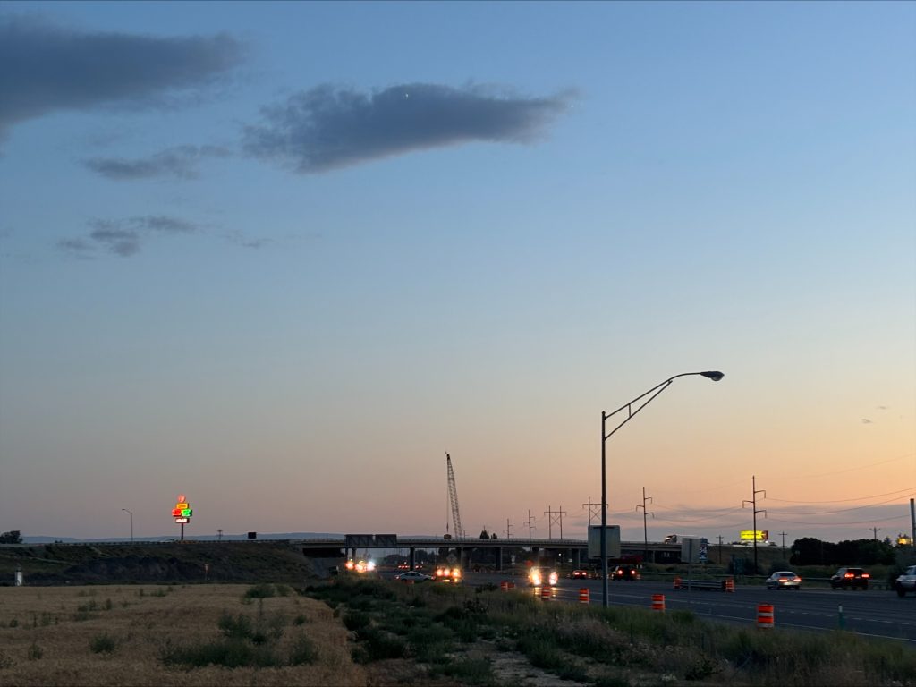
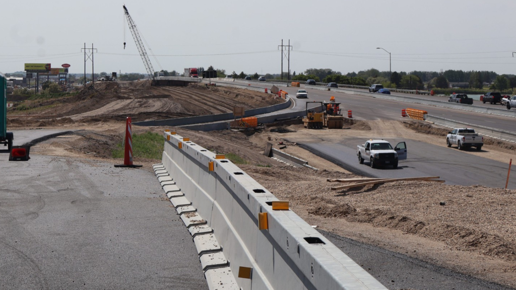
Detours planned on I-84 at Exit 208 while crews remove old highway bridge
Traffic patterns shift in Burley with reopening of I-84 Exit 208 tomorrow
Westbound I-84 on- and off- ramps closed at Burley Exit 208 starting next week
ITD hosts Snake River Crossing public meeting
SH-75 project identified for further funding
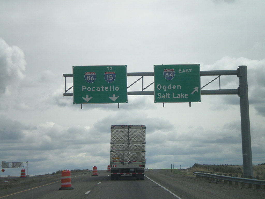
Lane Closures Begin Next Week Near I-84/I-86 Interchange for Chip Sealing
Construction
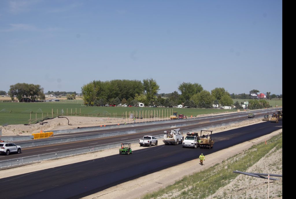
Highway Construction in South-Central Idaho
For more information about projects in construction or planning phases go to: itdprojects.idaho.gov
For construction, road conditions, & cameras go to: 511.idaho.gov
Planning & Design
Projects in Planning or Design Phases
 For more information on ITD project plans & map locations go to: itdprojects.idaho.gov
 Project Facts
Project Number: STP-F-2392(035)
Key Number: 3077
The Idaho Transportation Department (ITD) in cooperation with The Federal Highway Administration (FHWA) have completed the Final Environmental Impact Statement (FEIS) and received the signed Record of Decision (ROD) from FHWA on August 13, 2008. The environmental approval clears the way to proceed with preliminary design of critical segments of the Timmerman to Ketchum corridor. ITD personnel will be reviewing anticipated design work and determining funding flow for critical phasing of projects as outlined in the FEIS.
Project Description
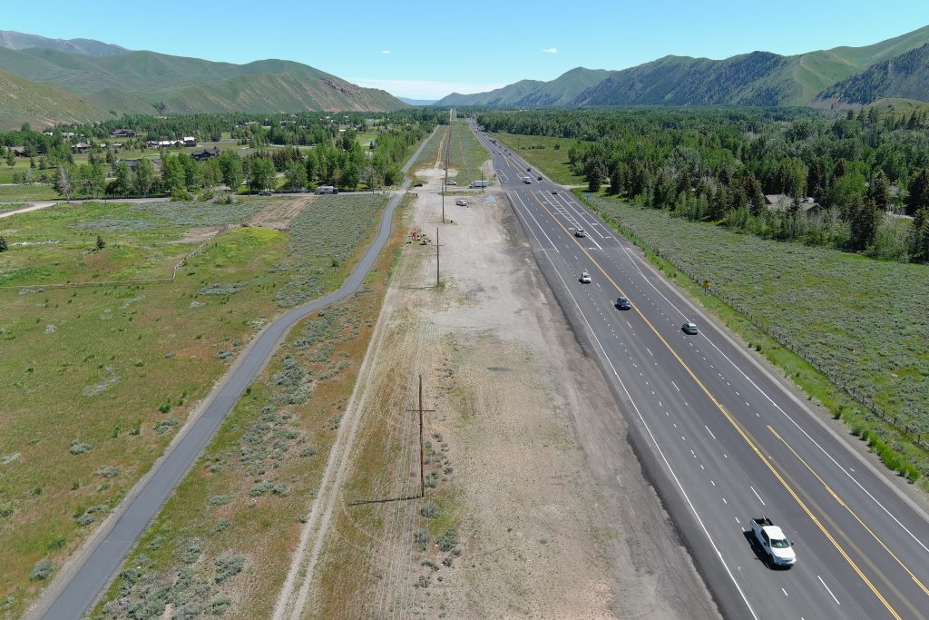
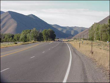
The Idaho 75 Timmerman to Ketchum project includes the highway corridor from Timmerman Junction (US-20 and SH-75 intersection) north to the City of Ketchum. The 27-mile corridor is the primary passageway for north-south travel to destination resorts, Wood River Valley commerce, and recreational opportunities. The overall goal of the project is to increase transportation safety for all users of SH-75.
The main purpose of the project is to increase the capacity of SH-75 to accommodate existing traffic loads while anticipating future highway demands to the year 2025. Since environmental approval has been attained, ITD will be moving ahead with the preliminary design of strategic sections of the corridor.
Preliminary design of the project will include four primary phases as outlined in the FEIS – Timber Way to Hospital Drive South, Hospital Drive South to Elkhorn Road, McKercher to Alturas Drive, and wetland mitigation development at the Boulder Flats site north of Ketchum. In the months ahead ITD personnel will interview consultants, preparing the funding flow for each design segment, and visiting with area stakeholders to firm up local needs. Project activities in the near term include an aerial survey of the corridor, ground survey to establish existing and required right of way, and preliminary engineering within the four primary phases listed above.
- Timber Way to Big Wood River Bridge was completed in 2014
Additional projects in the Idaho 75 Timmerman to Ketchum corridor are currently on hold until additional funds become available for highway expansion development.
Record of Decision
Final EIS
- Entire Final EIS (27 Mb)
- Appendix A
- Appendix B
- Appendix C
- Appendix D vol. 1 (288 Mb)
- Appendix D vol. 2 (82 Mb)
- Appendix D vol. 3 (24 Mb)
For more information, contact ITD’s District 4 at 208-886-7800
 Project Description
Key No.: 11622
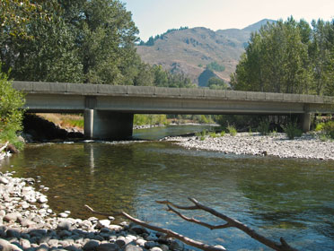
The Big Wood River Bridge to Elkhorn Road section of Idaho 75 is the second stage of design for the Timmerman to Ketchum corridor as directed in the Final Environmental Impact Statement that was completed in 2008. The project limits begin south of the Big Wood River Bridge near the north end of Hospital Drive and terminates just south of the Elkhorn Road intersection – a section approximately 0.68 miles in length. The project will include the rebuilding and widening of the Big Wood River Bridge to four lanes and will transition into the existing lane configuration north of the bridge. The project also will address any environmental impacts associated with its design.
The improved roadway will conform to the concept as determine by the approved Environmental Impact Statement. Development activities will include field surveys, coordination with utilities, contacting adjacent property owners to inform them of how the project may affect their interests, and coordination with local governments and agencies. Much of the work will follow the design standards developed for the Timber Way to Big Wood River Bridge project.
The design process started in February of 2014 and is anticipated to conclude by the end of 2015. Construction is planned for 2016 to 2017.
Regular travelers of Idaho 75 will continue to see many different activities throughout the project limits. Those interested in more information may contact Project Manager Steve Hunter with questions or comments.
July, 2015 Public Meeting Displays
- General Steps and Schedule
- Bridge Elevation
- Bridge Rendering
- Final Bridge Strip Map
- Construction Traffic Control
- Bridge Aesthetics
- Environmental Strip Map
August, 2014 Public Meeting Displays
- Bridge Aesthetics
- Bridge Layout
- Environmental Issues
- General Steps and Schedule
- Proposed Bridge Rendering – West Side
- Proposed Construction Strip Map
News Releases
Contacts
Steve Hunter, Project Manager
(208) 886-7846 – steve.hunter@itd.idaho.gov
 Project Facts
Key Number: 19086
Project Number: A019(086)
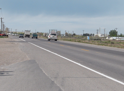
The Idaho Transportation Department (ITD) is proposing to reconstruct and widen portions of U.S. 30 in Cassia County from near Parke Avenue in Burley west through the 400 West Road intersection. The project is funded for construction in 2019.
Project Background
The U.S. 30 corridor west from Burley serves as a primary route for commuting, farm-to-market, and industrial traffic on the south side of the Snake River between Cassia and Twin Falls Counties. In addition to through traffic, there are in excess of 80 roadway, commercial, residential, and industrial access points through the project area that create several safety-driven concerns as identified by crash rates and a highway corridor safety analysis.
Plans to improve this section of roadway were developed through preliminary design in 2005. The current project will expand the original scope to include safety improvements. The project will improve roadway safety and capacity by adding through lanes, additional turn bays, installation of a traffic signal at the Washington Street/Bedke Boulevard intersection, and access control at select locations.
- December 2018 – US 30: North 400 to Parke Ave. Project Newsletter
- March 2017 – US 30: North 400 to Parke Ave. Project Newsletter
- May 2016 – US 30: North 400 to Parke Ave. Project Newsletter
Project Description
The project proposes to rehabilitate or reconstruct the existing pavement, widen the roadway to two lanes in each direction with a center turn lane and turn bays as needed, add access control curb at select locations, and improve the Washington Street/Bedke Boulevard intersection with a signal and lighting.
Work will include utility coordination and relocation, coordination with the City of Burley for future planning, and drainage and irrigation systems. The project provides for the opportunity to partnership with the City of Burley, the industrial corporations and commercial businesses within the corridor to develop economic-driven, long-term improvements.
Accessibility | Title VI | Americans with Disabilities Act (ADA) Compliance
The Idaho Transportation Department (ITD) is committed to compliance with Title VI of the Civil Rights Act of 1964 and all related regulations and directives. ITD assures that no person shall on the grounds of race, color, national origin, gender, age, or disability be excluded from participation in, be denied the benefits of, or be otherwise subjected to discrimination under any ITD service, program, or activity. The department also assures that every effort will be made to prevent discrimination through the impacts of its programs, policies, and activities on minority and low-income populations. In addition, the department will take reasonable steps to provide meaningful access to services for persons with Limited English Proficiency.
TTY/TDD Users: Dial 711 or (800) 377-3529 to use Idaho Relay System
Studies
- Magic Valley: Future River Crossing – Origin-Destination Study – November 10, 2020 presentation
- This study focuses on traffic flow within the Magic Valley in relation to possible location options for a potential future river crossing.
 Project Facts
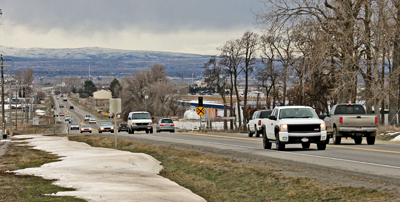
The Idaho Transportation Department (ITD) is planning a series of roadway improvements along U.S. 93 between the Interstate 84 junction and Idaho Highway 25 junction in Jerome County. The roadway is a critical link to local and through traffic on the U.S. 93 corridor. As many as 10,000 vehicles per day use this portion of roadway and volumes are expected to double within 20 years. Without adequate funding to complete a comprehensive reconstruction and expansion project, several shorter and focused projects will address safety and capacity concerns.
Public Hearing
- Members of the public were invited to attend a public hearing and open house for the proposed changes to the Environmental Assessment and Finding Of No Significant Impact (EA/FONSI) for a portion of US-93 in Jerome County.
- Public Hearing was held on Tuesday, April 17 from 4 to 7 p.m. at the Idaho Fish and Game Office located at 318 South 417 East in Jerome.
- EA/FONSI Public Hearing and Open House Announcement
Project Background
The U.S. 93 corridor from I-84 to the Idaho 25 junction (6.4 miles) serve as a commuting route from the cities of Twin Falls, Jerome and Shoshone, is a primary route for intrastate and interstate distribution of goods and services, and is in the early stages of significant commercial development along the route.
To prepare for future projects, an environmental assessment was completed with an approved Finding of No Significant Impact in 2007. The overall purpose is to improve U.S. 93 between I-84 and Idaho 25 to provide a safe highway facility that meets the current and future needs of local and regional traffic as well as through travelers for personal, commercial, and agricultural uses. Highway improvement will specifically address the need for additional roadway capacity to reduce congestion caused by increasing traffic volumes between Jerome, Twin Falls and the Wood River Valley. The projects will also improve access to meet the demands of expanding development along the corridor. The proposed improvements will also meet the needs of traditional agricultural activities.
Roadway improvements are planned to meet the corridor’s needs for the next 20 years. The completed Environmental Assessment also provided language requiring adequate space be provided on the west side of the highway for a future pedestrian/bicycle path.
The first corridor project, completed in 2011, reconstructed and widened about two miles of U.S. 93 from south of I-84 to near 450 South with a combination of concrete and asphalt paving. Construction through the 400 South Road intersection will be completed by the fall of 2018. Additional projects to reconstruct between 350 South and near Butte Drive north of Idaho Highway 25 are under design and will be constructed in coming years.
Project activities for each project will include ground survey to establish existing and required right of way and preliminary engineering. Right of way purchase will be required with each project for highway expansion. ITD is required to complete environmental reevaluation for each project area.
US-93 Documents
- US-93 Corridor Project Summary
- US-93: I-84 to SH25 Environmental Assessment/FONSI
- Notice of Public Hearing on April 17, 2018 – Environmental Assessment and Finding Of No Significant Impact
Contacts
Connie Jones, Senior Environmental Planner
(208) 886-7824 – connie.jones@itd.idaho.gov
 Study Description
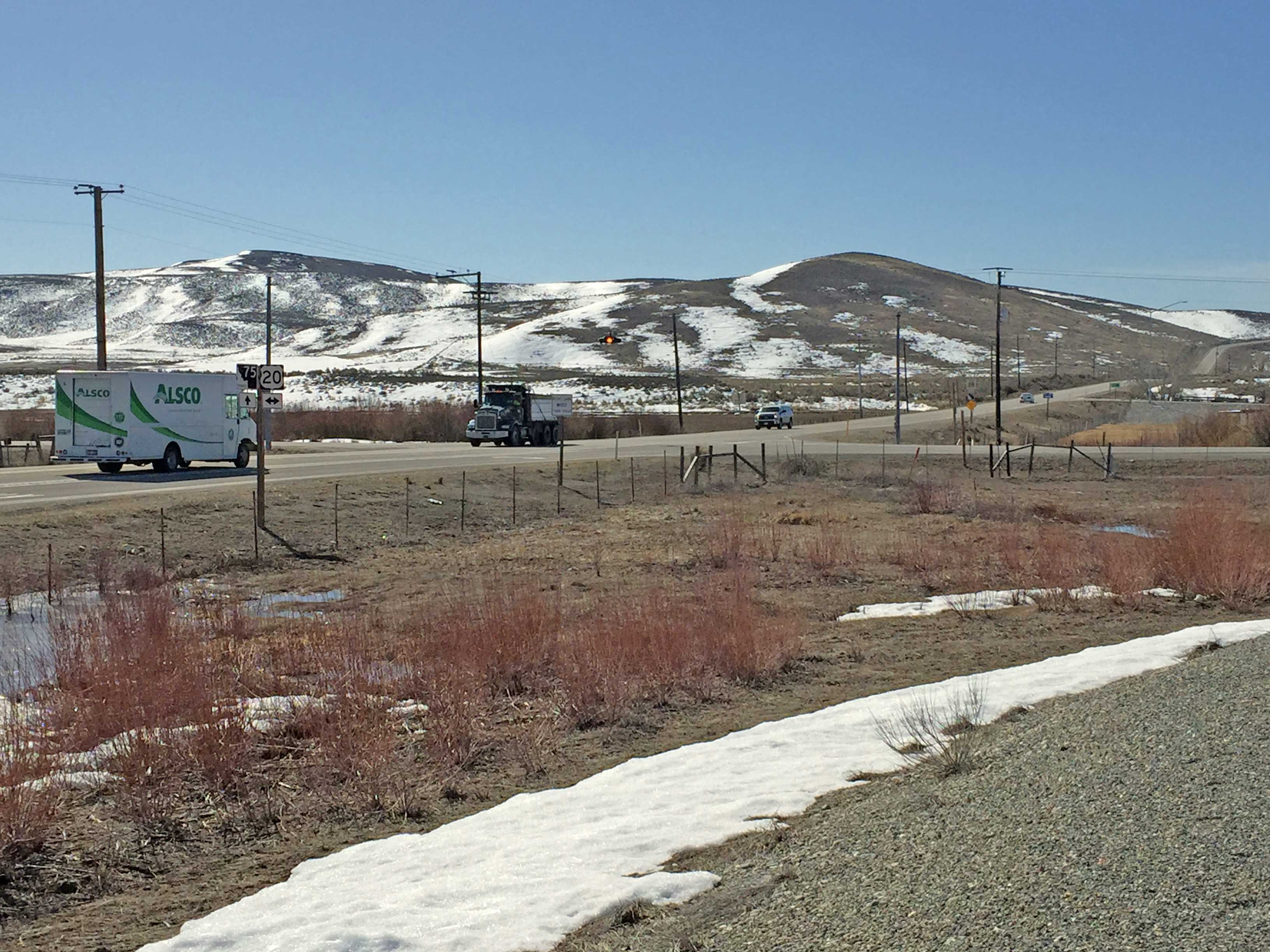
The Idaho Transportation Department (ITD) is undertaking a roadway improvement study for the U.S. 20/Idaho 75 intersection, locally known as Timmerman Junction. To accomplish this, ITD will work collaboratively with local community leaders and representatives to evaluate a wide range of intersection alternatives. From this evaluation, the team will identify and propose near-term and long-term improvements for the intersection.
Funding for these proposals is not currently in place. However, the study will help provide direction necessary to pursue funding and future implementation.
Study Need
Timmerman Junction is a high crash location with several serious injury crashes occurring at the intersection over the past decade. ITD has installed numerous safety treatments at the intersection since 1990, but recognizes the need to investigate additional treatments that may further improve the safety of the location.
The goals of the study include:
- Identify alternatives to improve the safety performance of the intersection.
- Maintain acceptable operational performance of the intersection.
- Identify and evaluate alternatives at the intersection in collaboration with local community leaders and representatives
- Establish a prioritized implementation plan for proposed improvements at the intersection.
The study will consider recommendations and commitments from past planning efforts including the 2008 SH-75 Timmerman to Ketchum Environmental Impact Statement and Record of Decision, Blaine County Comprehensive Plan and Transportation Plan, and the 2011 Road Safety Audit of the US 20/SH 75 Intersection.
Study Information
- FINAL REPORT: US 20-Idaho 75 Intersection Study
- Appendix: US 20-Idaho 75 Intersection Study
- Fact Sheet: US 20-Idaho 75 Project
- Online Survey Summary
Community Advisory Committee
Meeting #3 – October 5, 2016
Meeting #2 – July 14, 2016
Meeting #1 – April 7, 2016
Contact:
Bruce Christensen, ITD Traffic Engineer
(208) 886-7860 – bruce.christensen@itd.idaho.gov
Right-of-Way Permits
*NEW* Check it out: Right-of-Way Online Permit Tool
The Right-of-Way (ROW) permit tool is both a guide and an application for completing different types of ROW permits.
- This tool helps you identify the appropriate type of permit.
- Then the tool steps you through the specific process.
- Within the tool are the digital forms to fill out online which expedites the application process.
- Direct links to traditional ITD PDF forms are in the tool as another option.
- The tool also includes Online Payment Portals for each ITD District Office.
- The Payment Portals are always open 24/7.
- Encroachment information & permitting resources are together in this new online tool location.
Right-of-Way Permit Tool
Remember, you will need to:
- Include all requested plans and details with your completed application form.
- Prepayment is required.
- Include your payment portal receipt with your application.
- Once the completed packet is submitted, allow 30 business days for processing
- After the application is approved, contact ITD Maintenance Foreman at least five days prior to installation for start date approval.
Resources: Encroachment, Utility & Other Permits
This table contains resources for processing requests involving Idaho highway right of way. For additional details, see the “District Submittal” contacts below.
| Permits Quick Links | Resources |
|---|---|
| • Milepoint Logs • iPlan – Mapping tool for Idaho highway route information | • IDAPA 39.03.42 - Governing Rules • Access Management Information • DIG-Line | 811 - Contacts & rules for safe digging • ITD Manuals & Guidance - Complete list |
District Submittal Locations, Details & Contacts
| Regional Locations | Office Hours | Email Contact & District Right-of-Way Resources | Counties & Specific Contacts |
|---|---|---|---|
| North Idaho | District 1 600 W. Prairie Ave Coeur d’Alene, ID 83815 | 7 a.m. to 4 p.m. Pacific Time | Email: D1permits@itd.idaho.gov • District 1 | ROW Permit Quick Reference • District 1 | ROW Permit FAQs • District 1 | Traffic Impact Study FAQs | Counties: Benewah, Bonner, Boundary, Kootenai, Shoshone Phone: 208-772-1297 |
| North-Central Idaho | District 2 2600 Frontage Rd | P.O. Box 837 Lewiston, ID 83501 | 7 a.m. to 4 p.m. Pacific Time | Email: Shane.Niemela@itd.idaho.gov • District 2 | ROW Permit Quick Reference • District 2 | ROW Permit FAQs • District 2 | Traffic Impact Study FAQs | Counties: Clearwater, Idaho, Latah, Lewis, Nez Perce Shane Niemela, 208-799-4239 |
| Southwest Idaho | District 3 8150 Chinden Blvd Boise, ID 83714 | 8 a.m. to 5 p.m. Mountain Time Payments are not accepted after 3 p.m. Payment Phone Line: 208-334-8300, Ext. 2 | Email: ITDD3Permits@itd.idaho.gov • District 3 | ROW Permit Quick Reference • District 3 | ROW Permit FAQs • District 3 | Traffic Impact Study FAQs | Counties: Ada, Adams, Boise, Canyon, Elmore, Gem, Owyhee, Payette, Washington, Valley • Approach & Commercial Permits: Josh Nopens, 208-332-7190 • Utility, Special Event & Other Encroachment Permits: Shona Tonkin, 208-334-8341 |
| South-Central Idaho | District 4 216 S. Date St Shoshone, ID 83352 | 8 a.m. to 5 p.m. Mountain Time | Email: MaryEllen.Russell@itd.idaho.gov • District 4 | ROW Permit Quick Reference • District 4 | ROW Permit FAQs • District 4 | Traffic Impact Study FAQs | Counties: Blaine, Camas, Cassia, Gooding, Jerome, Lincoln, Minidoka, Twin Falls Mary Ellen Russell, 208-886-7839 |
| Southeast Idaho | District 5 5151 S. 5th Ave Pocatello, ID 83205 | 8 a.m. to 5 p.m. Mountain Time | Email: D5EncroachmentPermits@itd.idaho.gov • District 5 | ROW Permit Quick Reference • District 5 | ROW Permit FAQs • District 5 | Traffic Impact Study FAQs | Counties: Bannock, Bear Lake, Bingham, Caribou, Franklin, Oneida, Power Phone: 208-239-3300 |
| East Idaho | District 6 206 N. Yellowstone Ave Rigby, ID 83442 | 8 a.m. to 5 p.m. Mountain Time | Email: Jeffrey.Rawson@itd.idaho.gov • District 6 | ROW Permit Quick Reference • District 6 | ROW Permit FAQs • District 6 | Traffic Impact Study FAQs | Counties: Bonneville, Butte, Clark, Custer, Fremont, Jefferson, Lemhi, Teton, Madison Jeffrey Rawson, 208-745-5605 |
Roadway Sign Request Contacts
Truck Routes
DMV Ports of Entry, Freight Maps & Trip Permits
For all Motor Carrier Trucking Route Maps in Idaho go to the ITRPS website at:
Then click “Helpful Links” in the top left corner of the banner to access maps & attachments for the following:
- Idaho Maps for Approved Routes Up to 129,000 lbs. (129K)
- 129K State Route Maps (by District/Region)
- County Maps for Special Permit & Requirements
- Vertical Clearance Maps | Pilot/Escort Requirements
- Route Capacity Maps
- Route Capacity Maps (by Color)
Contacts
Idaho Transportation Department, District 4 Office
Mail Address: P.O. Box 2-A, Shoshone, ID 83352
Location: 216 South Date Street, Shoshone, ID 83352
District 4 Phone: 208-886-7800
District 4 Fax: 208-886-7895
Media Contact: Courtney Salmon | 208-886-7805
Accessibility | Title VI | Americans with Disabilities Act (ADA) Compliance
The Idaho Transportation Department (ITD) is committed to compliance with Title VI of the Civil Rights Act of 1964 and all related regulations and directives. ITD assures that no person shall on the grounds of race, color, national origin, gender, age, or disability be excluded from participation in, be denied the benefits of, or be otherwise subjected to discrimination under any ITD service, program, or activity. The department also assures that every effort will be made to prevent discrimination through the impacts of its programs, policies, and activities on minority and low-income populations. In addition, the department will take reasonable steps to provide meaningful access to services for persons with Limited English Proficiency.
TTY/TDD Users: Dial 711 or (800) 377-3529 to use Idaho Relay System


