Ports of entry help preserve the well-being and safety of Gem State drivers statewide by safeguarding citizens, fostering economic development, and ensuring the efficient movement of goods and individuals across our borders. POE staffers are committed to maintaining safety and compliance with federal and state regulations for commercial vehicles. Each day, dedicated supervisors, inspectors, and registration teams manage hundreds, often thousands, of vehicle inspections, registrations, and permit requests. Their collective efforts directly support ITD’s mission of promoting safety, mobility, and economic opportunity.
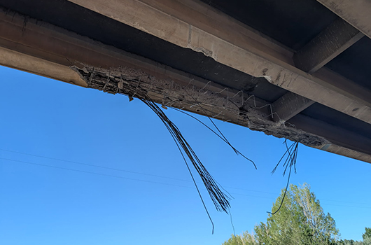
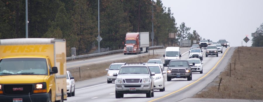
Given the high volume of commercial traffic on Idaho’s roads—totaling millions of vehicles annually—ports are integral to maintaining smooth and secure operations. In addition to visual inspections for damage or missing components, such as safety markers, tire lug nuts, mirrors, placards, exhaust systems, or mud flaps, we utilize advanced electronic screening and weigh-in-motion (WIM) technologies to enhance efficiency and accuracy.
Electronic WIM systems effectively identify vehicles that are potentially overweight, over-length, or over-height, streamlining the inspection process. Complementing this system is our tire anomaly detection system—recently recognized with an American Association of Motor Vehicle Administrators award—which helps identify tire issues such as worn tread, punctures, insufficient pressure, or mismatched sizes by axle. This technology not only facilitates the identification of suspect vehicles for further inspection, but also allows compliant vehicles to bypass the port, improving traffic flow and reducing operational costs. Industry data indicates that allowing compliant vehicles to remain on the interstate results in approximately $8.68 in cost savings per vehicle, thereby supporting our goal of enhancing mobility.
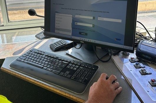
A key component of our electronic screening process is the Commercial Vehicle Information Exchange Window (CVIEW). This interface enables inspectors to access comprehensive vehicle data—such as registration details, safety records, permits, and driver information—to determine whether a more thorough inspection is necessary. When CVIEW flags potential issues, inspectors have the option to initiate a full inspection.
Recently, new Port of Entry Program Manager Frank DeCarvalho (pictured right) visited the East Boise and Declo ports. He remarked, “I am highly impressed with our inspectors and their effective use of electronic-screening technology to manage vehicle flow through our busy ports. The training they receive and their dedication are essential to fulfilling our mission while providing excellent customer service.”
While these technological tools provide powerful data-driven insights, it’s important to recognize the continued value of traditional visual inspections. These in-person checks remain a critical component of the inspection process, offering opportunities not only to identify issues that may not be captured electronically but also to engage directly with drivers. These face-to-face interactions often serve as educational moments, helping drivers better understand compliance requirements and maintain safer vehicles on the road.