Overview
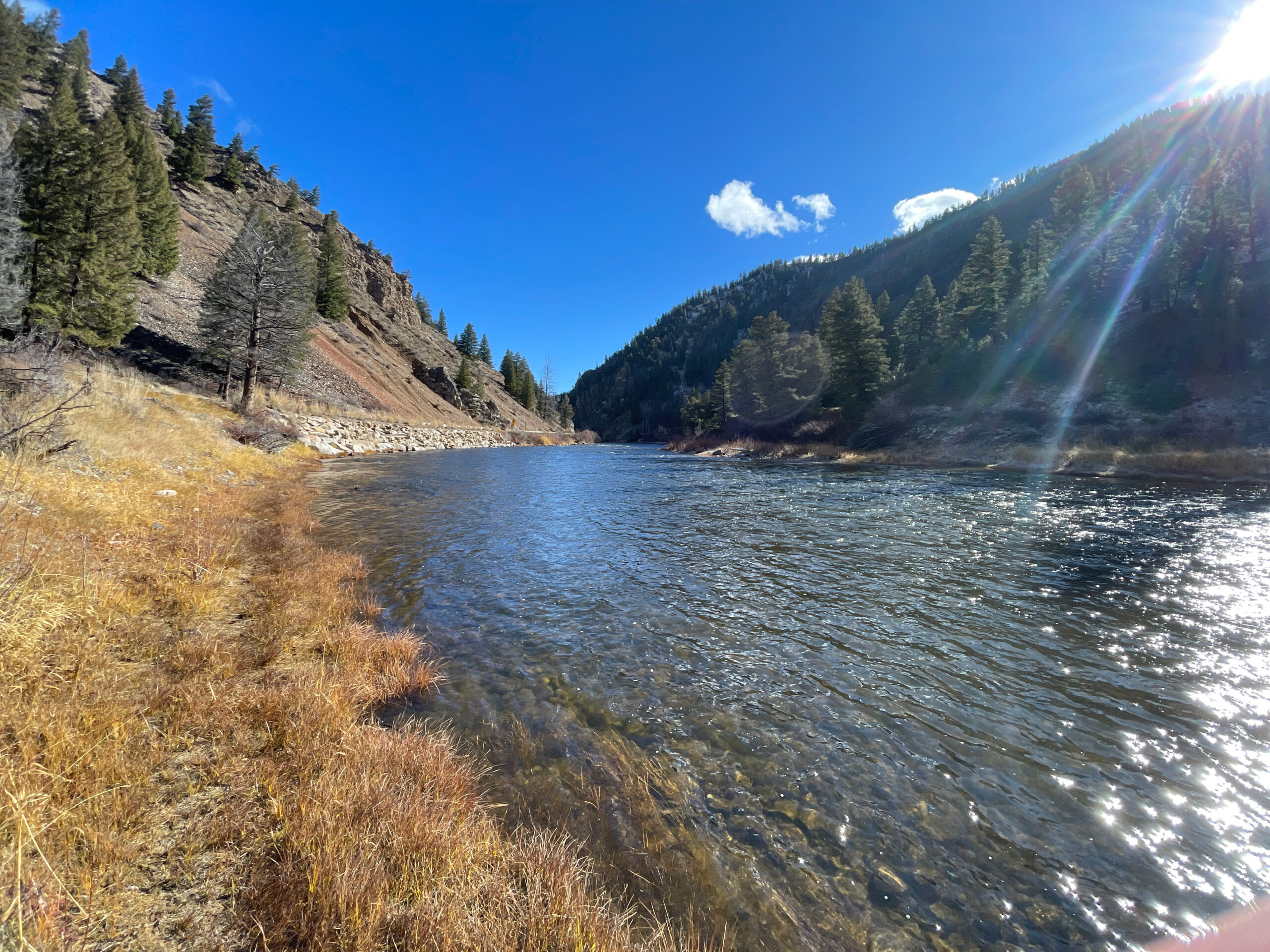
The Idaho Transportation Department is evaluating State Highway 75 (SH-75) between Torrey’s Hole River Access and Slate Creek in Custer County. Part of the evaluation process will identify potential improvements. The project is located about 22 miles east of Stanley.
The Salmon River Canyon provides limited space for widening SH-75. ITD will work with the United States Forest Service (USFS), local residents and road users to identify needs and determine improvements
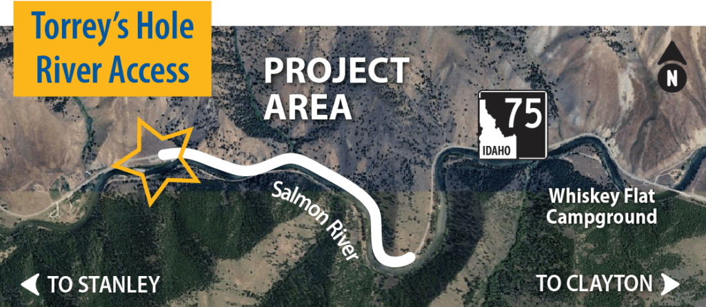
The Idaho Transportation Department is evaluating State Highway 75 between Torrey’s Hole River Access and Slate Creek in Custer County. The project is located about 22 miles east of Stanley.
The Salmon River Canyon provides limited space for widening SH-75. ITD will work with the United States Forest Service (USFS), local residents and road users to identify needs and determine improvements.
Possible Improvements Include:
- Installing safety features (e.g. guardrails)
- Repaving SH-75
- Increasing pavement width to include shoulders
- Replacing culverts
Timeline
-
2024
Environmental analysis and coordination within USFS and other agencies
Concept design complete
-
2025
Preliminary design complete
-
2026
Final design complete
-
2029
Estimated start of construction