Transportation department seeks public comment on planned projects in North Idaho

The Idaho Transportation Department is seeking public comment from July 2 – August 2 on the FY 2020-26 draft of the Idaho Transportation Investment Program (ITIP), and all transportation stakeholders are encouraged to participate.
The ITIP is a seven-year “roadmap” for planning and developing transportation projects, including:
- Highways and bridges
- Bicycle and pedestrian facilities
- Highway safety
- Railroad crossing safety
- Airports
- Public transportation
- Transportation planning
- Freight
The transportation department is offering an online, interactive map that allows users to choose specific project categories and learn about work that is planned for the area of Idaho they’re interested in. It’s called the Idaho Transportation Project Map.
View the draft ITIP and interactive map.
The draft ITIP document lists projects by highway route and location, identifies projected years for right-of-way acquisition, preliminary engineering, construction and estimated project costs. It also lists local construction projects that are federally funded.
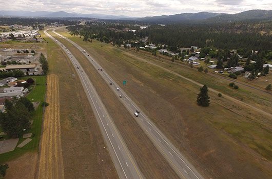
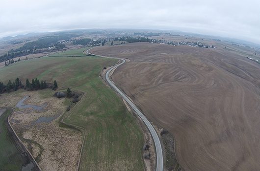
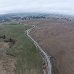
The projects start in 2020, and go through 2026. Notable upcoming projects in North Idaho include:
- Idaho Highway 41 expansion between Post Falls and Rathdrum beginning in 2020. More information is available at itdprojects.org/id41corridor.
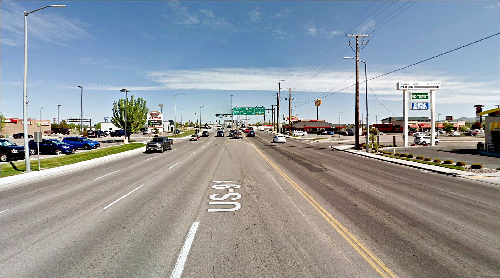
- US-95 expansion at Granite Hill north of CDA beginning in 2020. More information is available at itdprojects.org/us-95-granite-north-improvements.
- Addition of an eastbound lane on Interstate 90 between Atlas Road and Government Way in 2026. More information is available at itdprojects.org/i90atlastogov.
As part of balancing the budget and the needs of the northern five counties, some project schedules were adjusted, including the redesign of the US-95/Lincoln Way/Walnut Avenue intersection in CDA. That project was delayed from 2021 to 2026.
Public comments will help the department determine if proposed projects meet the department’s three main objectives of improving safety, mobility and economic opportunity.
Production of the ITIP is a year-round process that relies on input from elected officials, citizens, tribal governments, other state and federal agencies, Idaho’s metropolitan planning organizations, the Local Highway Technical Assistance Council, and other interested organizations.
Comments can be e-mailed to adam.rush@itd.idaho.gov or mailed to ITIP – Comments, Attn: Adam Rush, P.O. Box 7129, Boise, ID 83707-1129. Paper or CD copies of the ITIP will be provided upon request by contacting Rush at (208) 334-8119 or by e-mail at adam.rush@itd.idaho.gov.
A request for a paper copy or CD also can be mailed to: Idaho Transportation Department, Adam Rush, P.O. Box 7129, Boise, ID 83707-1129.
A printed copy can be reviewed at any of ITD’s district offices in Coeur d’Alene, Lewiston, Boise, Shoshone, Pocatello and Rigby.
All comments on the draft will be reviewed after Aug. 2. After approval by the Idaho Transportation Board, the ITIP is submitted to the Federal Highway Administration, the Federal Transit Administration and the Environmental Protection Agency.


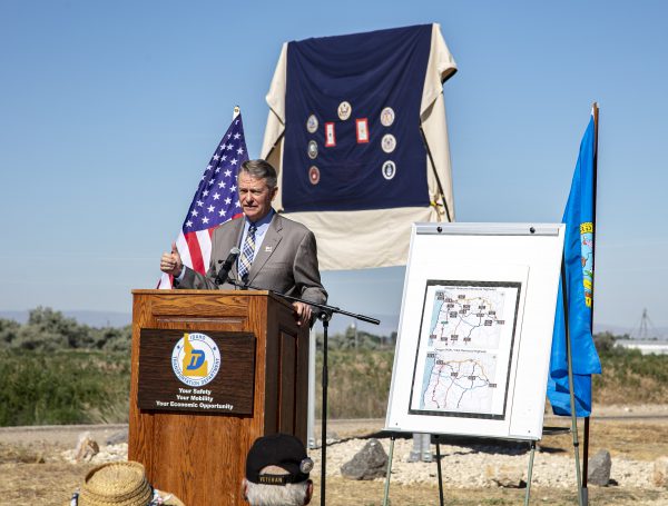 During the 2019 Idaho legislative session, a bill co-sponsored by Senator Abby Lee and Representative Scott Syme called for US-20 in Idaho to be renamed as a Medal of Honor Highway. After unanimous approval by the Idaho Senate and House, Governor Little signed that bill this spring.
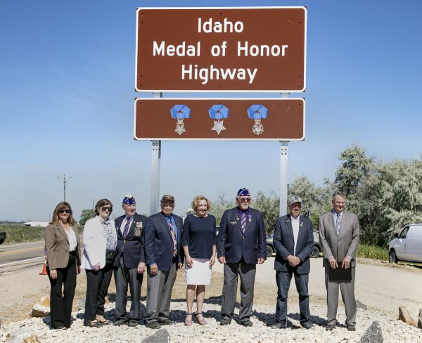 A ceremony and sign unveiling was hosted in Caldwell at one of the 11


